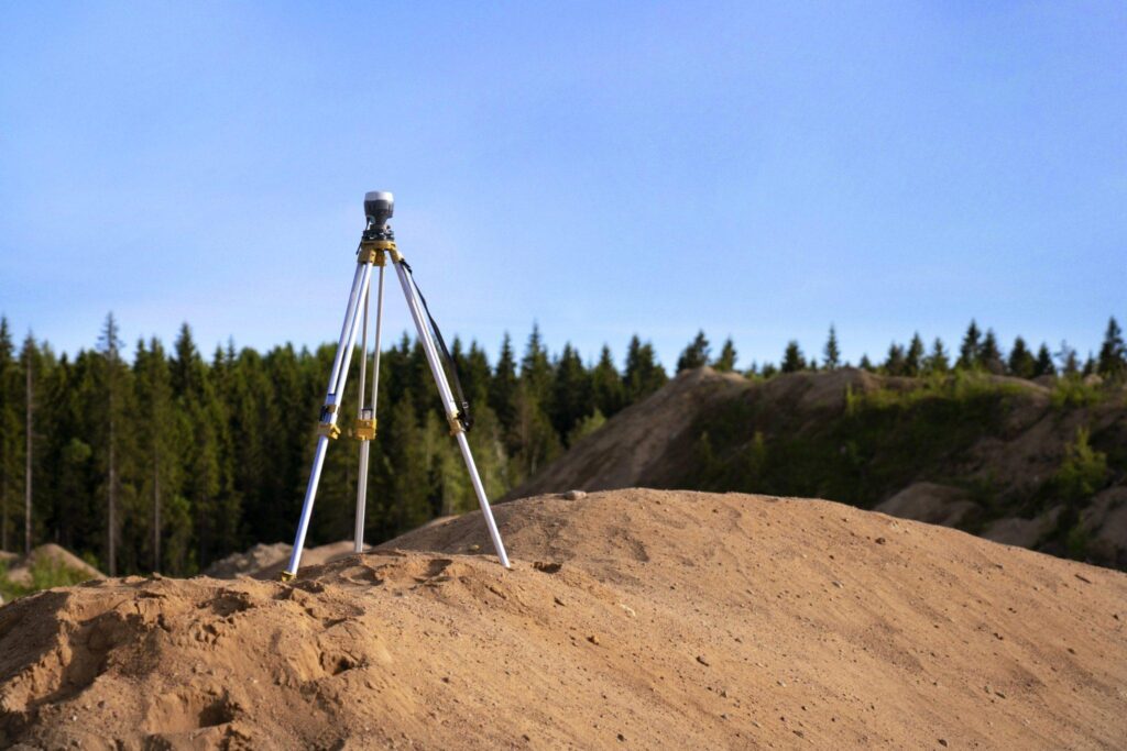
Topographical land surveying plays a vital role in shaping real estate projects, offering a foundational understanding of the land that informs everything from property valuation to construction planning. For real estate professionals, a clear grasp of this surveying method can significantly enhance decision-making and project success. It is not just a technical task reserved for engineers and architects—it’s essential knowledge for anyone involved in buying, selling, or developing land.
What is Topographical Land Surveying?
Topographical land surveying is a specialized type of land survey that maps and measures the elevation, contours, and physical features of a parcel of land. Unlike boundary surveys, which establish legal land lines, topographical surveys focus on natural and man-made features such as trees, hills, streams, buildings, fences, and utility lines. The resulting survey is often displayed as a detailed contour map that shows both horizontal and vertical dimensions of a landscape.
For real estate professionals, these surveys provide a comprehensive visual representation of the property in question. This is especially important in areas with complex terrain or where future development is being considered.
Why Real Estate Professionals Need to Understand Topographical Surveys
The real estate industry is more than just transactions and contracts; it often involves evaluating land for its development potential or investment value. Understanding topographical land surveying helps professionals assess whether a site is suitable for construction, if additional costs may arise due to grading or drainage issues, and whether zoning changes might be required.
For example, a property located on a steep slope may require extensive grading work before construction begins. Without a topographical survey, such issues may not become apparent until costly problems arise later in the project. Real estate agents and developers who understand how to read and interpret these surveys can advise clients with greater confidence and accuracy.
Components of a Topographical Survey
A topographical land survey typically includes both natural and artificial elements. Natural features may include hills, valleys, trees, rocks, rivers, and elevation changes. Man-made features might encompass buildings, roads, fences, utility poles, and drainage systems. These elements are mapped out using precise measurements taken with GPS equipment, drones, or traditional total stations.
Elevation points are represented by contour lines, with each line showing a consistent height above sea level. The closer the lines are to one another, the steeper the slope of the land. This data is crucial in determining site drainage, construction feasibility, and landscape design.
Use Cases in the Real Estate Sector
Topographical land surveying supports a wide range of real estate activities. For residential developments, it informs architectural designs, grading plans, and drainage solutions. In commercial real estate, it can determine site accessibility, parking layout, and stormwater management. In agricultural or rural property sales, understanding the topography helps in assessing land use, irrigation potential, and environmental conservation.
Additionally, municipalities and regulatory authorities often require topographical surveys before granting planning permission. Having one ready can expedite approvals and demonstrate a serious, professional approach to development.
How Surveys Influence Property Valuation
A well-documented topographical survey can influence the valuation of a property. For example, land that is flat and easily buildable will likely command a higher price than land that requires significant excavation or engineering. Likewise, properties that are prone to flooding or poor drainage might be considered less desirable.
Real estate professionals who present topographical data to potential buyers offer a clearer picture of the land’s true potential and limitations. This transparency not only builds trust but also facilitates more accurate appraisals and price negotiations.
Legal and Zoning Implications
Topographical land surveying is also critical for ensuring compliance with zoning laws and building codes. Municipal regulations often dictate minimum slope requirements, set-back distances, and maximum building heights—all of which depend on accurate topographical data. A developer planning to build a multi-story apartment complex will need to ensure the building site complies with elevation regulations and neighborhood visual impact assessments.
In some cases, failure to conduct a topographical survey can result in legal disputes, project delays, or denial of construction permits. Real estate professionals who are aware of these risks can guide their clients through the necessary steps to avoid costly setbacks.
Role in Environmental Impact Assessments
Environmental sustainability is becoming increasingly important in real estate, and topographical surveys play a vital role in environmental impact assessments. They help identify flood zones, wetlands, erosion-prone areas, and other sensitive landscapes. This is especially relevant for projects that require environmental permits or aim to achieve eco-friendly certifications.
For example, if a property is located near a protected wetland, a topographical survey can outline the boundaries and help developers design around the area to preserve its ecological integrity. This not only ensures compliance but can also enhance the marketability of the property by aligning it with sustainable development goals.
Technological Advancements in Surveying
Modern topographical land surveying has evolved significantly with the advent of technology. Traditional methods involving theodolites and measuring tapes have largely been replaced by GPS-enabled devices, laser scanners, and aerial drone surveys. These tools offer greater accuracy, faster turnaround times, and the ability to capture detailed 3D models of terrain.
Real estate professionals who are familiar with these technologies can better interpret survey data and collaborate more effectively with surveyors, engineers, and architects. They can also use visual survey outputs, such as 3D maps and models, to present projects more compellingly to stakeholders or investors.
Working with Professional Surveyors
While it’s not necessary for real estate agents to perform surveys themselves, collaborating with qualified land surveyors is essential. Understanding the basics of topographical land surveying allows agents to communicate project goals clearly, request the right type of survey, and ensure the final report meets regulatory and client needs.
It’s important to choose surveyors with experience in the specific type of development being considered, whether residential, commercial, or mixed-use. Their local knowledge can also prove invaluable, especially when navigating regional regulations or unique environmental conditions.
Conclusion
Topographical land surveying is an indispensable tool for real estate professionals who want to stay ahead in a competitive market. It provides detailed insights into the landscape, reveals potential challenges, and enables informed decision-making at every stage of a property transaction or development project. By understanding how to interpret and apply the information from these surveys, real estate professionals can provide better guidance, mitigate risks, and ultimately add more value to their clients’ investments.


